Lafayette is home to a number of beautiful ponds and streams open to the public for kayaking and canoeing. If you're not familiar with the area, it may come to a surprise that Lafayette has so many options for paddling. Planning a kayak trip can be overwhelming and unfamiliar especially if you're new to kayaking or don't own a kayak yourself. That's why we have come up with this quick and easy guide to help you get started on your next outdoor paddling adventure!
Where can I Kayak or Canoe in Lafayette?
Lakes and Ponds
Lakes and ponds are a great option for quick and easy kayaking that does not require too much time or planning. Not only are they easy to get in and get out of, but they are very easy to navigate. When paddling in one of the lakes or ponds, you'll always be fairly close to your vehicle and don't need to plan too many logistics. There are two parks in the Greater Lafayette area where lakes and ponds are available for paddling.
Bicentennial Nature Area
Bicentennial Nature Area is a 196 acre property featuring a large pond (approximately 70 acres). Some may know this pond as Lake Harner. Kayaks, canoes and paddle boards are welcome. There are two spots where you can walk your kayaks right into the water. This is the perfect spot if you live in Lafayette and are looking to kayak close to home. Bicentennial Nature Area is located on the north side of Sagamore Parkway between Duncan Road and Schuyler Avenue. Life jackets are required when on the water, and swimming is not allowed.
Fairfield Lakes Park
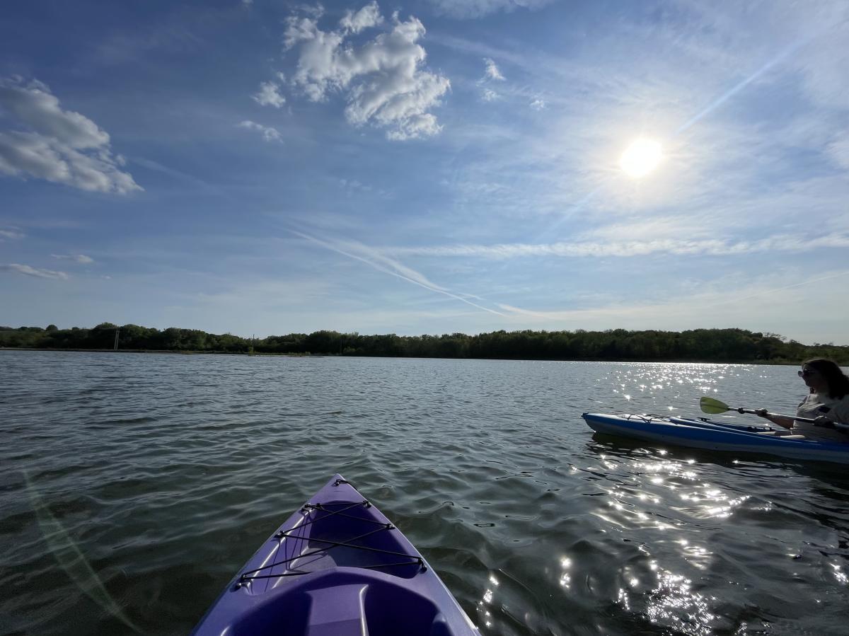
Fairfield Lakes Park is a 99 acre park with 4 beautiful lakes open for kayaking and canoeing. The lakes have kayak/canoe ramps making them easy to enter. The lakes are a short walk from the parking lot, meaning you will have to drag your kayak a short distance from your vehicle to the water. Life jackets are required when on the water, and swimming is not allowed. The park is located at County Roads 200 S and 750 E, near Dayton, Indiana just outside of Lafayette.
Wildcat Creek
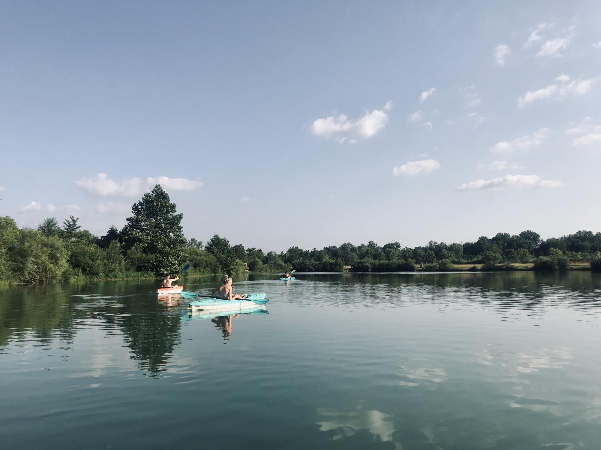
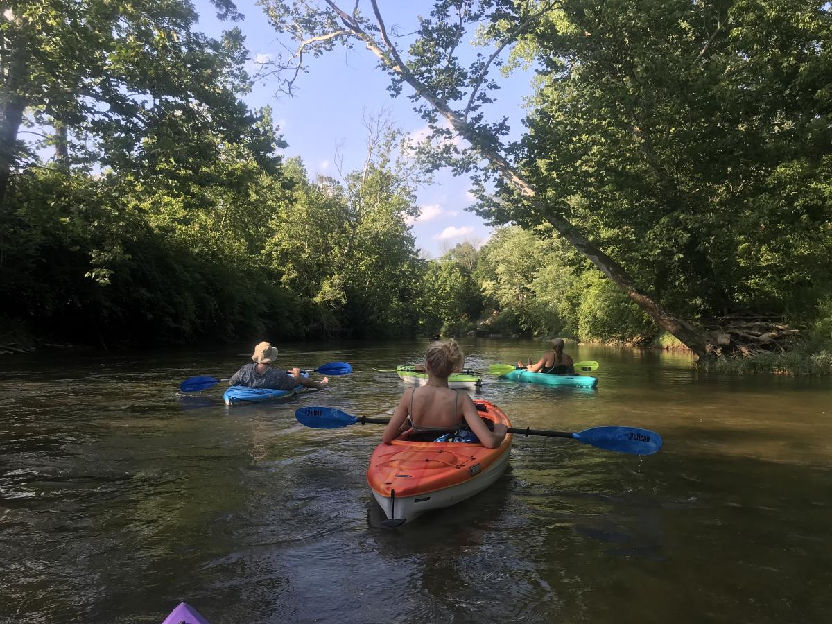
Wildcat Creek is an Indiana natural scenic river that stretches from Kokomo to Lafayette before emptying into the Wabash River. There are multiple access points to the Wildcat in Lafayette. Wildcat Creek consists of three main forks: North, South, and Middle. All forks flow in an east-west direction. For this guide, we are going to highlight access points only in the Lafayette area on the South Fork and part of the North Fork.
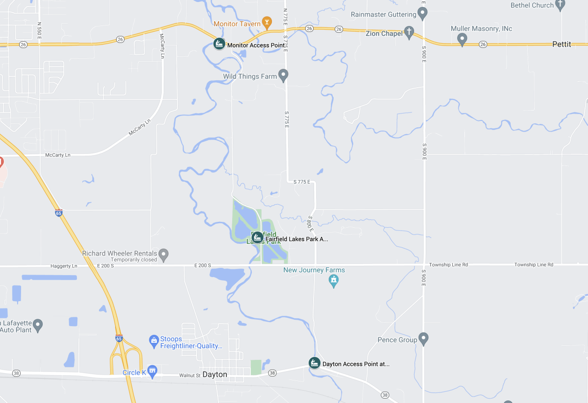
A map of the access points explained below can be found here.
South Fork Access Points
Dayton Access Site at State Road 38
Location: The Dayton Public Access Site is along CR 800 E, downstream (north) of the SR 38 bridge, on the right (east) bank.
GPS Coordinates: N40 23.544' W86 45.104'
Path to the water: There is an approximate 50 yard walk through dirt and grass from the parking lot to the water. The path gets fairly steep as you get closer to the water. There is plenty of space to load multiple kayaks at a time here.
Fairfield Access Site at Fairfield Lakes Park
Location: From Dayton, turn left and head north on CR 800 E. Turn left (west) onto CR 200 S, then just before the bridge over the creek, turn right (north) onto CR 750 E. Fairfield Public Access Site is located just NW of the intersection of CR 200 S and CR 750 E. You will see a small gravel parking lot once you've arrived.
GPS Coordinates: N40 23.534' W86 45.698'
Path from parking to the water: The path is paved and wheelchair accessible for the most part. It does turn into a dirt path towards the end. You will have to carry your kayaks here for approximately 40 yards. There is room to load many kayaks at a time, and there is room to stand on the gravel bar.
Monitor Access Site at State Road 26
Location: The Monitor Access Site is located at the State Road 26 bridge over Wildcat Creek, about 3 miles east of I-65. Creek access is upstream (south) of the State Road 26 bridge on the right (east) bank.
GPS Coordinates: N40 25.067' W86 46.094'
Path from parking to water: There is an approximate 10 yard distance between the creek and the parking lot down steep steps to the river. This location has fairly easy access to the creek.
River Access: There is room to load only a couple of boats at a time.
North Fork Access Points
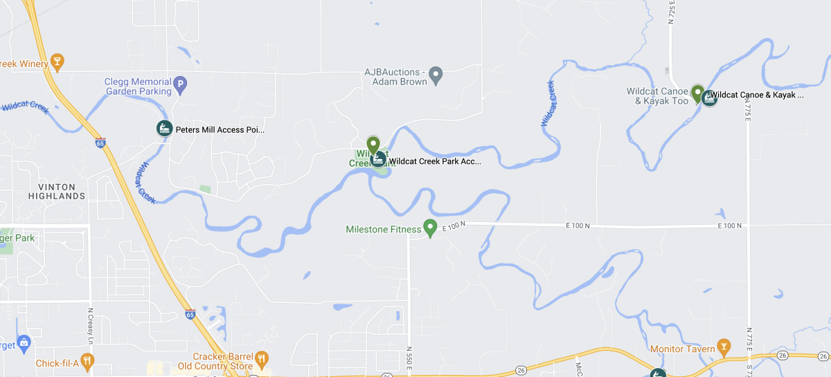
Wildcat Park Access Site
Location: Wildcat Park is located on Eisenhower Road in Lafayette. It is on the right bank of the river at the junction of the North and South Forks of the creek. Wildcat Park access point is technically on the North Fork. It is located at the Junction of the North and South Forks. This makes Wildcat Park a great take-out point for trips on the South Fork of Wildcat Creek.
GPS Coordinates: N40 26.310' W86 48.193'
Parking: There is a gravel parking lot with room to park 20-30 vehicles. There is room for several cars to pull off near the path and unload boats before parking in the lot.
Path to water: You will have to carry your kayaks about 50 yards down several steps and across a large sandbar.
River Access: There is room to load many boats on the large sandbar.
Peters Mill Landing Access Site
Location: This access site is just downstream of Peters Mill Bridge, on Eisenhower Court, on the left river bank.
GPS Coordinates: N40 26.483' W86 49.806'
Parking: There is gravel parking for 10-12 cars.
Path to water: There are steps down to creek.
River Access: There is room to load/unload 3-4 boats at a time.
Mis-So-La Access Site
Location: This access site is located on CR 725 E. It is just downstream (south) of the bridge on the left (east) bank.
GPS Coordinates: N40 26.570' W86 45.795
Parking: There is room to park 5-10 vehicles on the grass.
Path to water: You have to carry your kayaks 35 yards on an easy dirt path to the water.
River Access: There is room to load/unload about 5 boats at a time.
The Mis-So-La Access Site is very close to Wildcat Canoe and Kayak Too.
For rental canoe and kayak trips on this part of the Wildcat contact Wildcat Canoe and Kayak Too.
Wildcat Creek Trip Recommendations:
South Fork Trips:
Dayton (SR 38) to Fairfield: Approximately 1.7 miles
Fairfield to Monitor: Approximately 4.5 miles
Monitor to Wildcat Park: Approximately 4.3 miles
Dayton (SR 38) to Monitor: Approximately 6.2 miles
North Fork Trips:
Wildcat Park to Peters Mill Landing: Approximately 3 miles
Mis-So-La to Wildcat Creek Park: Approximately 4.5 miles
For more information on Wildcat Creek head to: https://www.wildcatcreek.net/index.htm for tons of super helpful information!
What if I don't own a Kayak or Canoe?
Wildcat Canoe and Kayak Too
Wildcat Canoe and Kayak Too offers float trips down the Wildcat Creek. They rent kayaks, canoes and tubes plus transportation to the starting point of the trip. If you have your own equipment, they offer a shuttle service as well. Wildcat Canoe and Kayak Too is located close to the Mi-So-La-Access at 1850 N 725 E in Lafayette.
Safety when Kayaking
Know before you go!
- Please check on the current stream flow before planning a trip: https://waterdata.usgs.gov/in/nwis/uv?site_no=03335000. During dry periods, the Wildcat water may be too low to float.
- Plan ahead! If you go on a trip on the Wildcat, make sure a dependable vehicle will be waiting for you in the parking lot at your ending access point! Check out your access points and familiarize yourself with the areas before your actual trip.
- Wear a life jacket at all times! Indiana boating laws require that there must be one USCG approved wearable life jacket (type I, II, III, V) onboard the watercraft for each person onboard. The life jacket must be the proper size to fit the person intended to wear it, and must be in serviceable condition.
- Bring a dry bag or dry box to keep phones and keys safe.
- Read about paddling etiquette here: https://www.in.gov/dnr/state-parks/recreation/water-trails/paddling-etiquette/
We hope this guide is helpful for those who are new to paddling in general or new to paddling in Greater Lafayette. Be safe and have fun enjoying the great outdoors!


