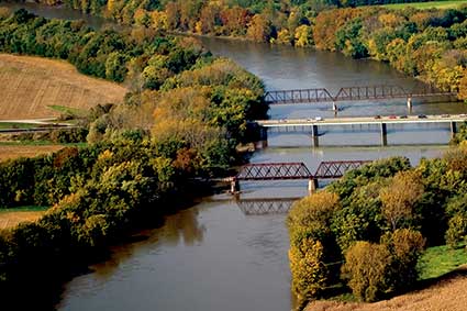
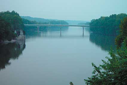
Wabash River
wabashriver.net
Runs between Lafayette and West Lafayette
Description: The river begins near Ft. Recovery, Ohio as a tiny stream and flows many miles into the Ohio River. The name “Wabash” comes from Ouabache or Wah-ba-shika-ki, a French/Native American interpretation that roughly translates to “clear water over white stones.”

From the mid-1600s into the 1800s, the Wabash was a major trading route, linking Quebec, Canada and the Great Lakes to the Mississippi River. Fort Ouiatenon (wee-ah-teh-non) ,located on the river and named for the Wea tribes in the area, was established by the French in 1717 as a fur trading post. It was one of the earliest settlements in what was to become the State of Indiana.
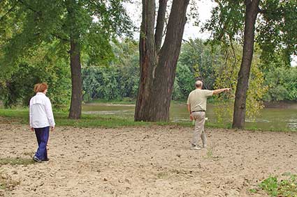
Unique wildlife observation and unparalleled views can be found along an 18 mile scenic trailway along the Wabash River. The Wabash Heritage Trail begins at Tippecanoe Battlefield in Battle Ground and menders along Burnett Creek to the Wabash River It passes along the cities of Lafayette and West Lafayette and ends at Fort Ouiatenon. Trail maps and conditions are available at the Wah-ba-shik-a Nature Center, Tippecanoe Battlefield Park. Please, no horses, bikes or motorized vehicles on the footpath in the rural sections of the trail. Bicycles are permitted on the 5 1/2 miles of paved trail in Lafayette and West Lafayette. Camping is prohibited along the trail. The trail is maintained by all three park departments.